
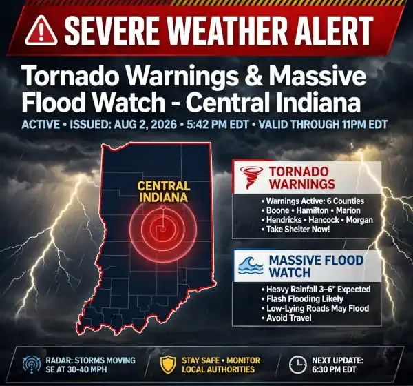
Severe Weather Alert: Tornado Warnings and Massive Flood Watch Sweep Central Indiana

Central Indiana was hit with severe weather on Saturday, August 1, 2026, as a slow-moving low-pressure system brought severe thunderstorms, rotating cloud formations, and intense torrential rainfall to the region. The National Weather Service (NWS) issued a Tornado Warning for Marion County—including the Indianapolis metropolitan area—alongside an expansive Flood Watch spanning dozens of counties across central, northern, and southern Indiana.
Residents across the Hoosier State were urged to take immediate shelter and prepare for localised urban flooding, stream overflows, and gusty winds as multiple storm cells rolled through the area.
Tornado Warning Issued for Marion County and Surrounding Areas
The storm system intensified rapidly on Saturday afternoon. Meteorologists from the FOX59/CBS4 weather team and the National Weather Service issued a Tornado Warning for Marion County, in effect through 6:00 p.m. EDT, after radar imagery indicated strong rotation within a severe thunderstorm cell.
While initial atmospheric setups earlier in the week suggested a low overall tornado probability across northern and central Indiana, localised atmospheric instability and moisture transport south and east of Indianapolis created conditions favourable for funnel development.
                          CENTRAL INDIANA SEVERE THREAT

  ┌───────────────────────────┬─────────────────────────────────────────────────┐
  │ Primary Hazard            │ Impact / Details                                │
  ├───────────────────────────┼─────────────────────────────────────────────────┤
  │ Tornado Warning           │ Marion County (extending into central metro)    │
  │ Flash Flood Watch         │ 30+ Central & Northern Indiana Counties         │
  │ Expected Rainfall         │ 1.0 to 3.0 inches (Locally 4.0+ inches)         │
  │ Peak Impact Window        │ Saturday afternoon through 8:00 a.m. EDT Sunday │
  └───────────────────────────┴─────────────────────────────────────────────────┘
The NWS alerted residents in the path of the storm to move to an interior room on the lowest floor of a sturdy building, stay away from windows, and monitor local NOAA emergency broadcasts.
Regional Flood Watch Extended Through Sunday Morning
Compounding the tornado threat, the National Weather Service in Indianapolis issued a broad Flood Watch covering a vast swath of the state. The watch went into effect Saturday afternoon and remains active until 8:00 a.m. EDT on Sunday.
According to hydrologists, a slow-moving, moisture-rich low-pressure system delivered repeated rounds of training thunderstorms (storms moving over the same areas consecutively). This continuous deluge generated widespread rainfall totals between 1 and 3 inches, with localised hot spots receiving in excess of 4 inches of rain.
Counties Under the NWS Flood Watch
The severe weather alert encompassed counties stretching from St. Joseph and Carroll in the north down to Monroe and Bartholomew in the south, as well as border counties adjacent to Illinois and Ohio:
| Region | Impacted Indiana Counties |
| Central Indiana | Marion, Hamilton, Hendricks, Johnson, Boone, Hancock, Shelby, Morgan, Madison, Tipton, Clinton |
| West & South Central | Tippecanoe, Vigo, Clay, Owen, Putnam, Montgomery, Parke, Vermillion, Warren, Fountain, Monroe, Brown, Bartholomew, Decatur |
| East & North Central | Delaware, Henry, Randolph, Rush, Carroll |