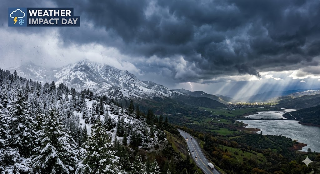
SACRAMENTO, CA — Residents across Northern California are bracing for a Tuesday “Weather Impact Day” as a slow-moving Pacific storm system moves inland, threatening to disrupt travel and bring a winter-like punch to the spring season.
The National Weather Service and local meteorologists have issued alerts for a dynamic system that will bring a trifecta of hazards: heavy rain, high-elevation snow, and severe afternoon thunderstorms.
Thunderstorm Threat in the Valley
Meteorologists are warning of unstable atmospheric conditions that will peak between 12:00 PM and 7:00 PM today. The Sacramento Valley and surrounding Foothills are at risk for scattered thunderstorms that could produce:
- Heavy Downpours: Sudden visibility drops and ponding on roadways.
- Small Hail & Lightning: Frequent strikes and localized accumulation of pea-sized hail.
- Funnel Clouds: Forecasters are monitoring the potential for weak rotation in more intense storm cells.
Sierra Travel: Winter Conditions Return
Travel over the Sierra Nevada is expected to be difficult to nearly impossible at times. A Winter Storm Warning remains in effect as snow levels fluctuate.
- Accumulations: Elevations above 7,000 feet could see between 12 to 24 inches of fresh powder by Wednesday morning.
- Pass Impacts: Interstate 80 and Highway 50 are expected to see significant delays. Chain controls are likely as snow levels drop to 5,000 feet by late evening.
- Wind Gusts: Ridgeline winds could reach 75–90 mph, creating whiteout conditions and blowing snow.
Safety & Preparedness
Officials are urging residents to stay weather-aware throughout the afternoon. If you are traveling through the Sierra, carry an emergency kit and check for the latest chain requirements. In the Valley, remember: “When thunder roars, go indoors.”
The storm is expected to linger through Wednesday afternoon before tapering off into scattered showers by Thursday.
STAY UPDATED: Check local radar and traffic apps frequently, as thunderstorm development can be rapid and unpredictable.
